
 By admin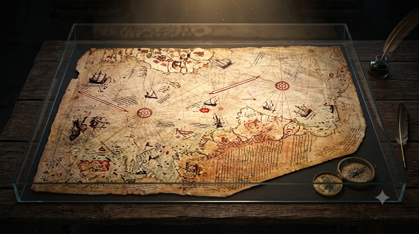
Introduction
In 1929, a group of historians were cleaning out an old storage room in Topkapi Palace, Istanbul. They were sorting through dusty books and forgotten documents when they found something unusual. It was a piece of parchment made from gazelle skin. It was torn and faded, but the drawings on it were clear. It was a world map, and it was dated 1513.
What made this map special was not just its age. The coastlines of Europe, Africa, and South America were drawn with surprising accuracy for the early 1500s. Even stranger, the bottom part of the map seemed to show a coastline that looked remarkably similar to Antarctica. The problem was, Antarctica was not officially confirmed and explored until the early 19th century.
This is the story of the Piri Reis Map. For nearly 100 years, it has confused historians and sparked endless debate. Was it proof that ancient people had advanced knowledge of the world? Or was it simply a skilled compilation of the best maps available at the time? Let’s look at the facts.
The Discovery of the Piri Reis Map

The Piri Reis Map was not found on an expedition. It was found in a palace. In 1929, while cataloging items in Topkapi Palace, researchers came across the fragment. Only about one-third of the original map survived. The rest had been lost to time.
The map was signed by Piri Reis, a famous Ottoman admiral and cartographer. In a note on the map, he explained that he did not create it from scratch. Instead, he compiled it in 1513 using around 20 different source maps. These included Portuguese navigation charts, Arab maps, and other older documents.
The most surprising claim was about one of his sources. Piri Reis wrote that he used a map made by Christopher Columbus during his voyages to the Americas. If that was true, it would be one of the most important historical discoveries ever. No original map made by Columbus has ever been found. Because of this, the Piri Reis Map immediately became one of history’s most talked-about artifacts.
Some historians praised it as an amazing example of early cartography. Others believed it contained knowledge that should not have existed in 1513. Either way, the discovery of the Piri Reis Map raised more questions than answers.
Why Is the Piri Reis Map So Mysterious?
At first, the map looks like any other map from the 1500s. But when experts started studying it closely, they noticed several strange things.
The first was its accuracy. The coastlines of West Africa and South America were drawn with a level of detail that was unusual for the time. Many parts of the world had not been fully explored by Europeans yet, so the accuracy was hard to explain.
The second and biggest mystery was at the bottom of the map. In the 1950s, researchers suggested that this section resembled the coastline of Antarctica. This was shocking because Antarctica was not officially discovered until 1818, more than 300 years after the map was made.
Some people even claimed that the coastline looked like Antarctica without its ice sheet. Modern scientists only mapped the land underneath the ice using radar in the mid-1900s. If this was true, it would mean that someone had mapped Antarctica thousands of years ago, before it was covered in ice.
Supporters of this idea believe the Piri Reis Map was copied from much older source maps. They think an advanced ancient civilization may have explored the entire world and recorded it.
Skeptics disagree. They argue that the supposed Antarctic coastline is actually just a distorted version of South America. In the early 1500s, mapmakers had limited information and often guessed at the shapes of unexplored lands. They would stretch coastlines or connect landmasses that were actually separate. Without more evidence, both sides continue to argue about what the map really shows.
Did the Piri Reis Map Really Show Antarctica?
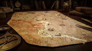
This is the question that made the Piri Reis Map famous around the world. People who believe in the mystery point to the southern section of the map. They say it matches the coastline of Queen Maud Land in Antarctica. They also claim it appears to show the land without ice, which would suggest it was made long before recorded history.
If that is true, it would completely change our understanding of ancient civilizations. It would mean that people had the ability to explore and map the entire planet far earlier than we thought.
However, most professional historians and cartographers do not agree with this theory. They believe the southern part of the map is simply a distorted drawing of the eastern coast of South America. In the 16th century, explorers had very little information about the Southern Hemisphere. It was common for mapmakers to fill in the gaps with guesses.
Another important factor is that the map is incomplete. Only about one-third of the original Piri Reis Map still exists. Without the missing pieces, it is impossible to know exactly what Piri Reis intended to show. When compared to modern satellite images, the map does not match perfectly. There are some similarities, but also many differences.
Because of these reasons, most mainstream historians believe the Antarctica theory is based more on imagination than on facts. Still, the debate has not gone away. Every few years, a new book or documentary brings the Piri Reis Map back into the spotlight. Whether it shows Antarctica or not, the map continues to capture people’s imagination.
What Sources Did Piri Reis Use?
One of the most interesting things about the Piri Reis Map is that Piri Reis left notes explaining where his information came from. Unlike many ancient mysteries, we have some direct information from the creator himself.
According to his notes, Piri Reis did not travel the world to make the map. He created it by combining information from about 20 different charts and maps. These sources included Portuguese navigation charts, Arab maps, and other older maps that are now lost.
The most surprising source he mentioned was a map made by Christopher Columbus. Piri Reis claimed that one of the charts he used came from Columbus’s voyages to the Americas. If this is true, it would be an incredible discovery. Unfortunately, no original map from Columbus has ever been found, so there is no way to confirm this claim.
Some researchers believe Piri Reis got his information from skilled sailors who had explored the Atlantic Ocean. Others think he inherited knowledge that had been passed down through generations of mapmakers.
There are also more controversial theories. Some people claim the map was based on sources from a forgotten ancient civilization with advanced geographical knowledge. However, there is no archaeological evidence to support this idea.
Most historians believe the explanation is much simpler. The Piri Reis Map was likely a remarkable compilation of the best geographical knowledge available in the early 16th century. Even so, many of the original source maps that Piri Reis mentioned have disappeared. Without them, we may never know exactly how he created the map.
#### *5. What Do Historians Really Think?*
The mystery of the Piri Reis Map has inspired many theories. But what do professional historians actually believe?
Most experts agree that the Piri Reis Map is an extraordinary achievement for its time. It shows that Piri Reis was a highly skilled cartographer who carefully combined the best maps available in 1513. The accuracy of the known coastlines proves that he had access to good information.
However, most historians do not believe the map proves that ancient civilizations discovered Antarctica. They argue that the controversial southern coastline is simply a distorted version of South America. Mistakes like this were common on early maps because explorers had incomplete information.
Historians also point out that extraordinary claims require extraordinary evidence. So far, there are no ancient writings, no other maps, and no archaeological discoveries that support the idea of an advanced lost civilization making detailed world maps thousands of years ago.
That does not make the Piri Reis Map any less important. Many researchers believe its real value is in showing how knowledge was shared between different cultures. The map combines information from European explorers, Arab scholars, and Ottoman sailors into one document. It is a reminder that exploration and discovery were rarely the work of just one person or one nation.
Lessons From the Piri Reis Map
The Piri Reis Map is more than just an old piece of parchment. It teaches us several important lessons about history and human knowledge.
First, it shows that knowledge travels across civilizations. Piri Reis did not create the map alone. He collected information from sailors, explorers, and earlier mapmakers from different cultures. His work is proof that when people share ideas, knowledge grows.
Second, it proves that people in the past were more skilled than we sometimes give them credit for. Without satellites or modern technology, 16th-century navigators were able to create maps that still impress experts today.
Third, it reminds us that not every mystery has a simple answer. Does the map really show Antarctica? Or is it just an unusual drawing of South America? After decades of research, there is still no final answer. Sometimes history leaves us with questions instead of certainty.
Finally, the map shows that curiosity keeps history alive. More than 500 years after it was created, researchers are still studying it. New technologies allow us to examine details that earlier generations could not see. Every new study adds another piece to the puzzle.
Conclusion
More than 500 years after it was created, the Piri Reis Map continues to puzzle historians, scientists, and explorers. At first glance, it looks like an ordinary map from the early 1500s. But its accuracy, its mysterious sources, and its controversial coastline have made it one of history’s greatest unsolved mysteries.
Did Piri Reis simply combine the best maps of his time? Or did he preserve knowledge from much older civilizations that have been forgotten? No one knows for certain.
Most historians believe the map is an extraordinary achievement based on the geographical knowledge available in 1513. Others continue to wonder if it hides clues about a lost chapter of human history.
Whatever the truth may be, the Piri Reis Map reminds us that history is never completely written. New discoveries and new research can change our understanding of the past. Until stronger evidence is found, the mystery will remain. And perhaps that is what makes the Piri Reis Map so fascinating. Because sometimes, the greatest mysteries in history are not hidden underground. They are drawn on a single piece of parchment, waiting for someone to finally understand them.
[…] admin Aug 4, 2026 […]